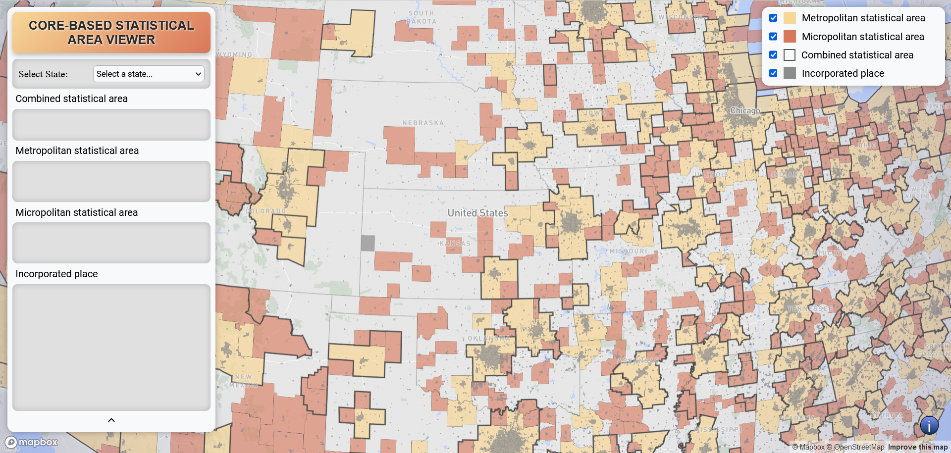
Core-Based Statistical Area Viewer
I've developed a web application using the Mapbox GL platform to explore a concept I've been interested in: cities and towns that straddle state lines yet share economic activities. In effort to better understand where these areas are located I looked at Census data and geographic statistical areas defined by the OMB (Office of Management and Budget). If you're intrigued by this concept and would like to contribute to the appliction, I'd be delighted to collaborate with you.
What was used:
- Mapbox JS GL
- GeoJSON
- Mapbox Vector Tileset
- GitHub
- ArcGIS Pro
- 2020 Census Tiger/Line and tabular data
Upcomming Features
- Summary of population
- Demographic breakdown
- Census table upload
- Send me other ideas! Or get involved on Github!
View the code on GitHub.