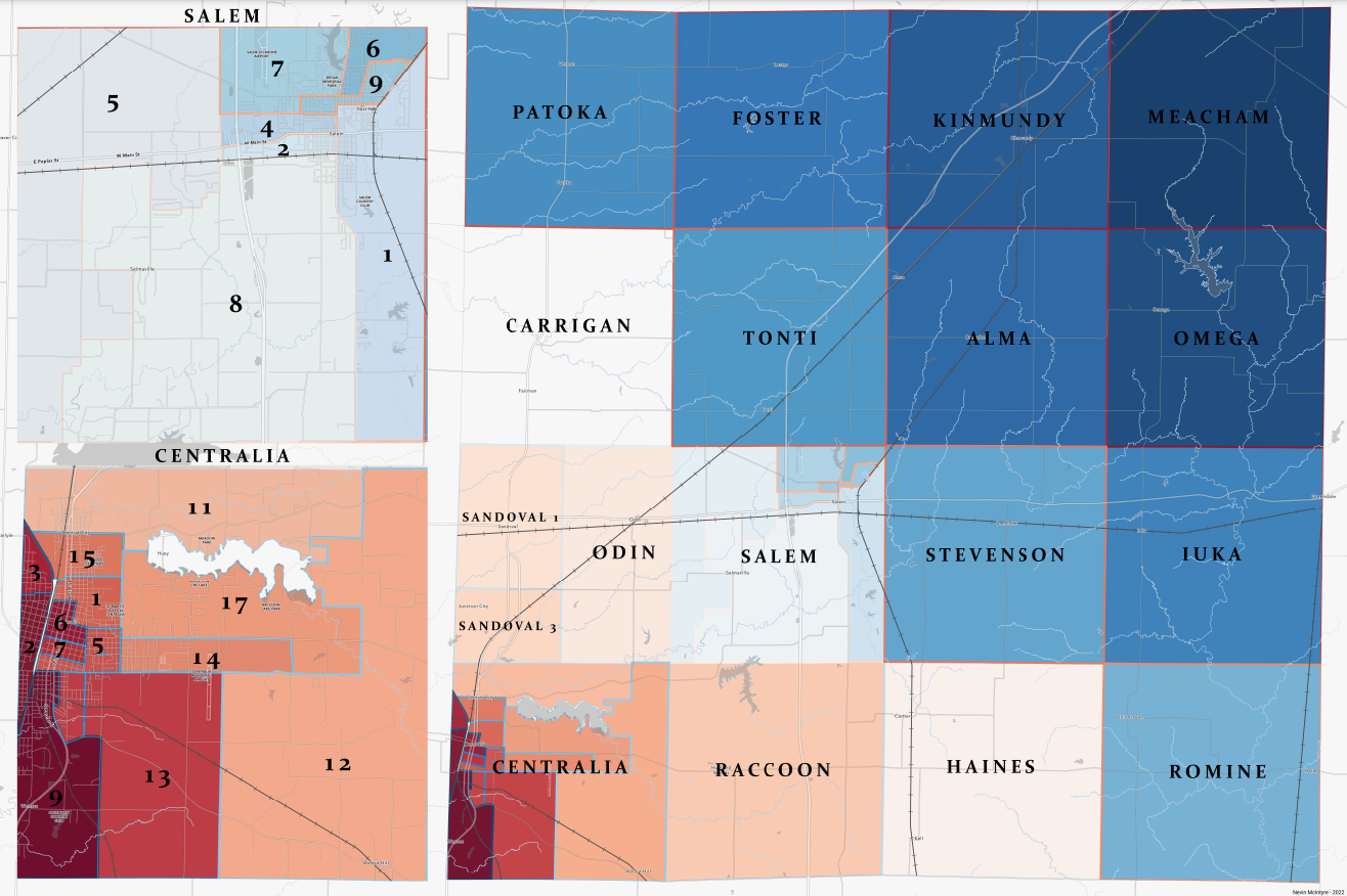
Marion County Illinois - Precinct Wall Map
Here's a quick 1-hour 24x36 wall map I made for Marion County, IL. The goal here was to display precinct boundaries and labels. Other information is just for reference.
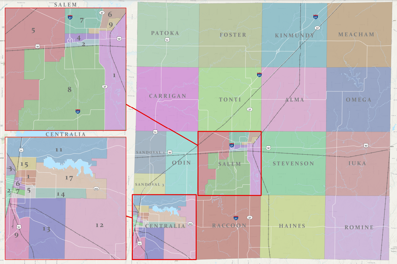
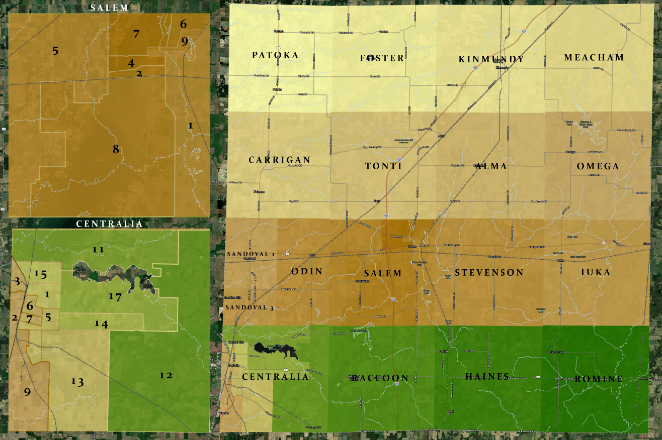
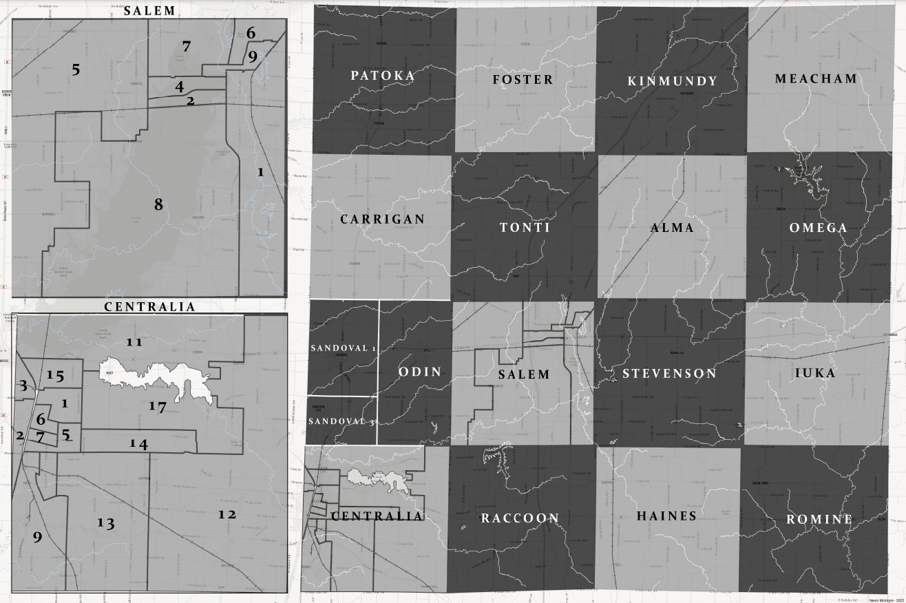
Lets face it, ESRI default pastel colors (above) work well when symbolizing and labeling this many features. However, it doesn't mean I have to like it. Below are some other versions. Vote which you like best!
**These took an additional hour or two :)